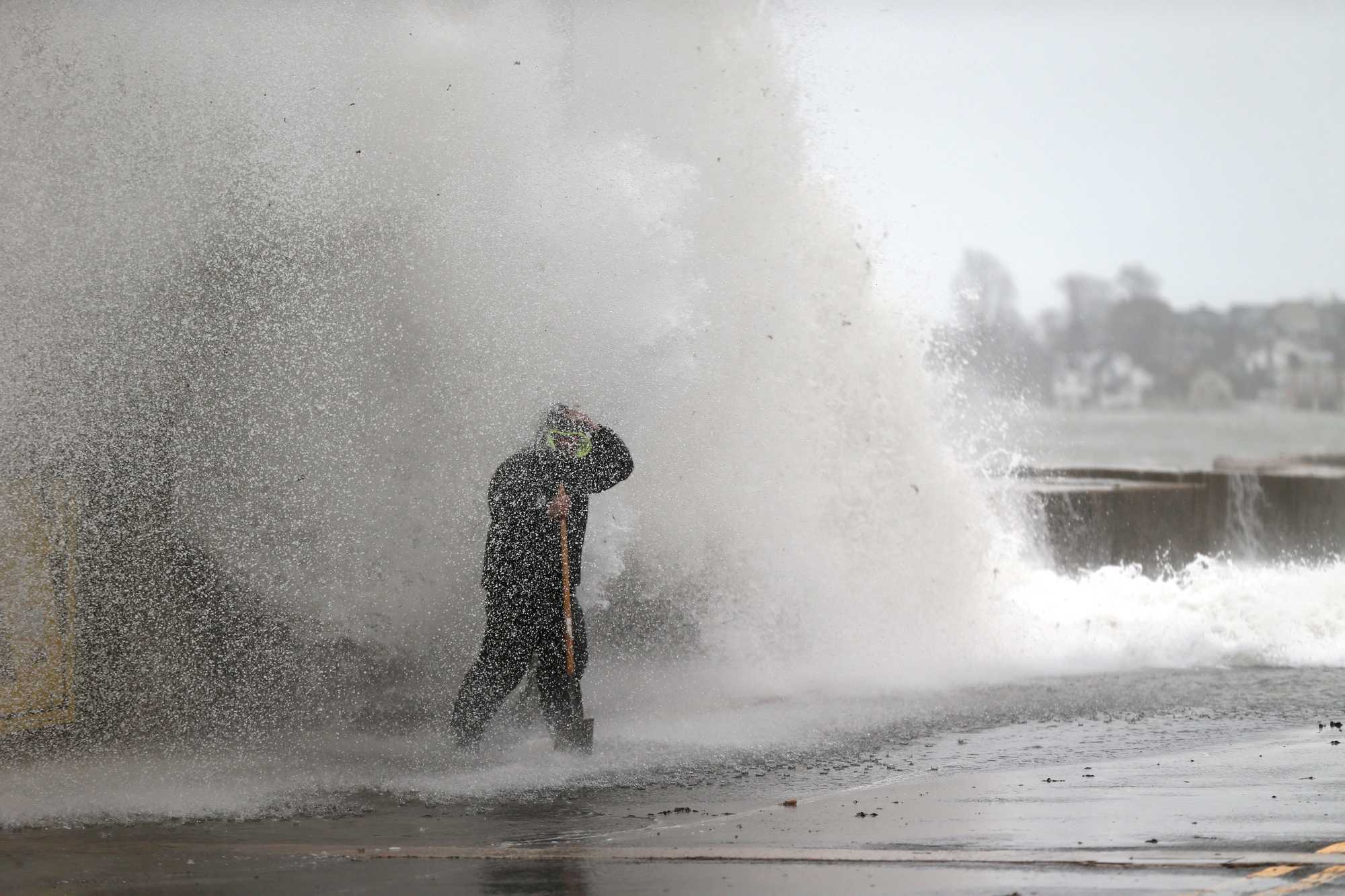
Crews clearing catch basins on Winthrop Parkway in Revere were hit by a wave coming over the sea wall during high tide in December 2022. (Jonathan Wiggs/Globe Staff)
Small towns, high tides: Across Mass., coastal communities grapple with rising seas.
From the South Coast to the North Shore, Cape Cod to Cape Ann, nearly every coastal community in Massachusetts — and there are 78 of them — is reckoning with a future of higher seas.
Read more
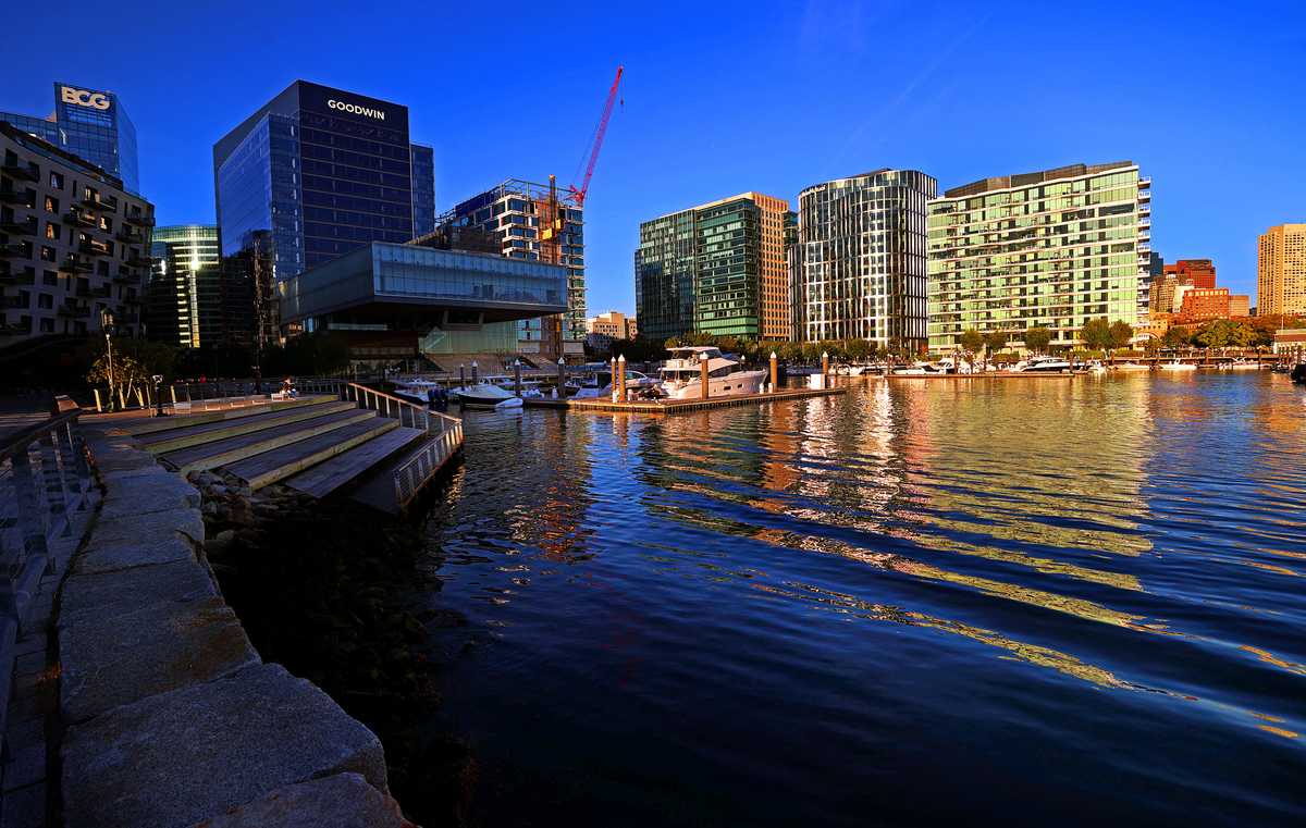
- Water is coming for the Seaport; the whole city will be poorer for it.
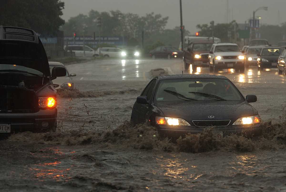
- If Massachusetts can’t fix floody Morrissey Blvd., how will it keep all our roads and rails dry?
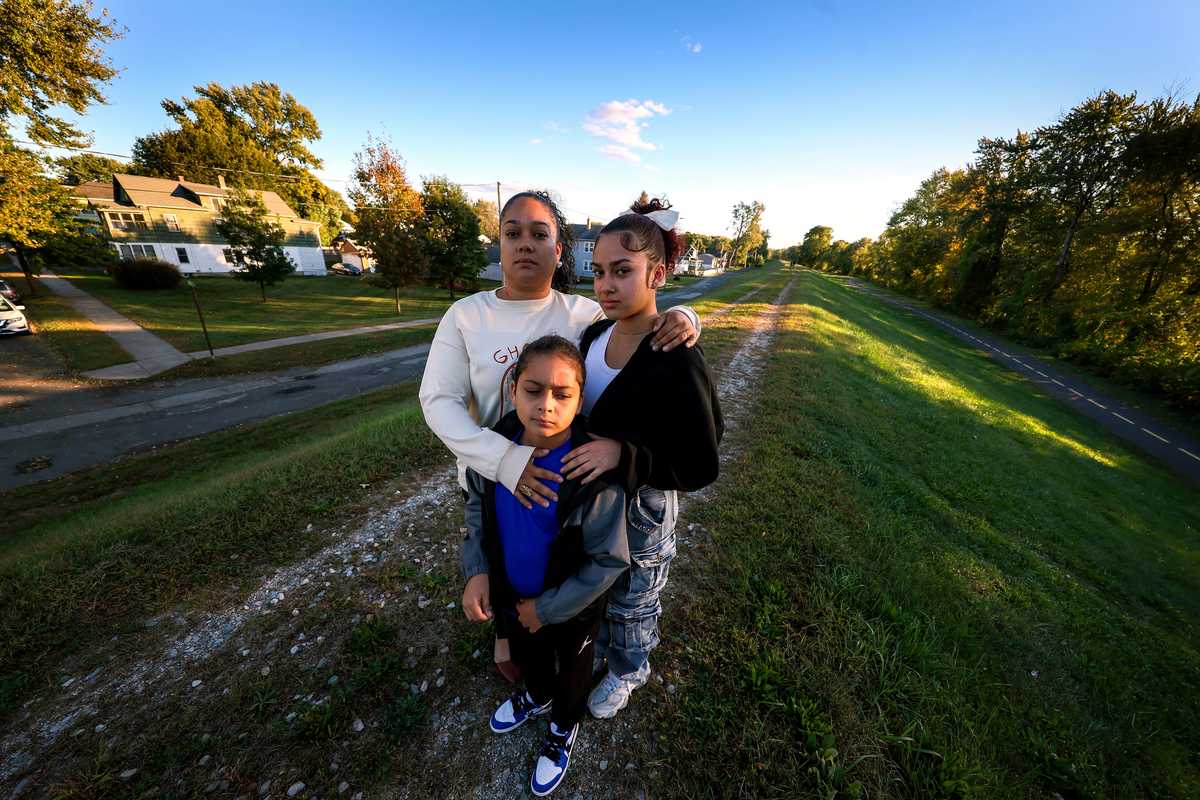
- Behind the levee: The forgotten communities at risk in Massachusetts
- Hull or High Water: When climate change hits home
- Interactive map: Do you live in a flood zone?
For some, that future is already here, bringing with it closed roads, flooded basements, even rivers swollen with saltwater. While development hot spots such as the Seaport have some money to fend off the water, less-affluent communities face hard choices over how to protect themselves, and who might be left behind.
Ultimately, most coastal towns have only a few options: Build a sea wall or other barrier, find new ways to live with water, do nothing, or retreat inland. Each place has its own needs, politics, and geography. There’s no one-size-fits-all approach, nor easy answers.
Here’s how four communities are wrestling with the threats.
On Revere’s Pearl Avenue, the water comes from all sides
REVERE — Joe LaVigueur keeps a tidy backyard. He carefully mows and weed wacks around raised beds that teem with flowers and vegetables, while his small dog, Sammy — a brown-and-white mixed breed — races around him.
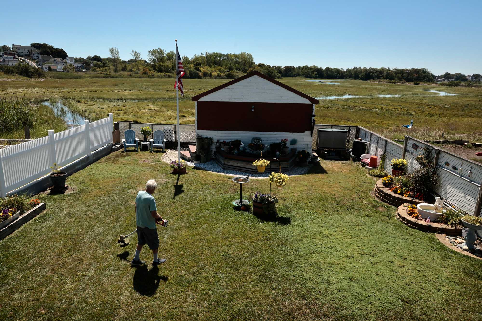
Joe LaVigueur worked in his yard in Revere, where his home on Pearl Avenue is prone to flooding due the neighboring marsh and nearby ocean. (Craig F. Walker/Globe Staff)
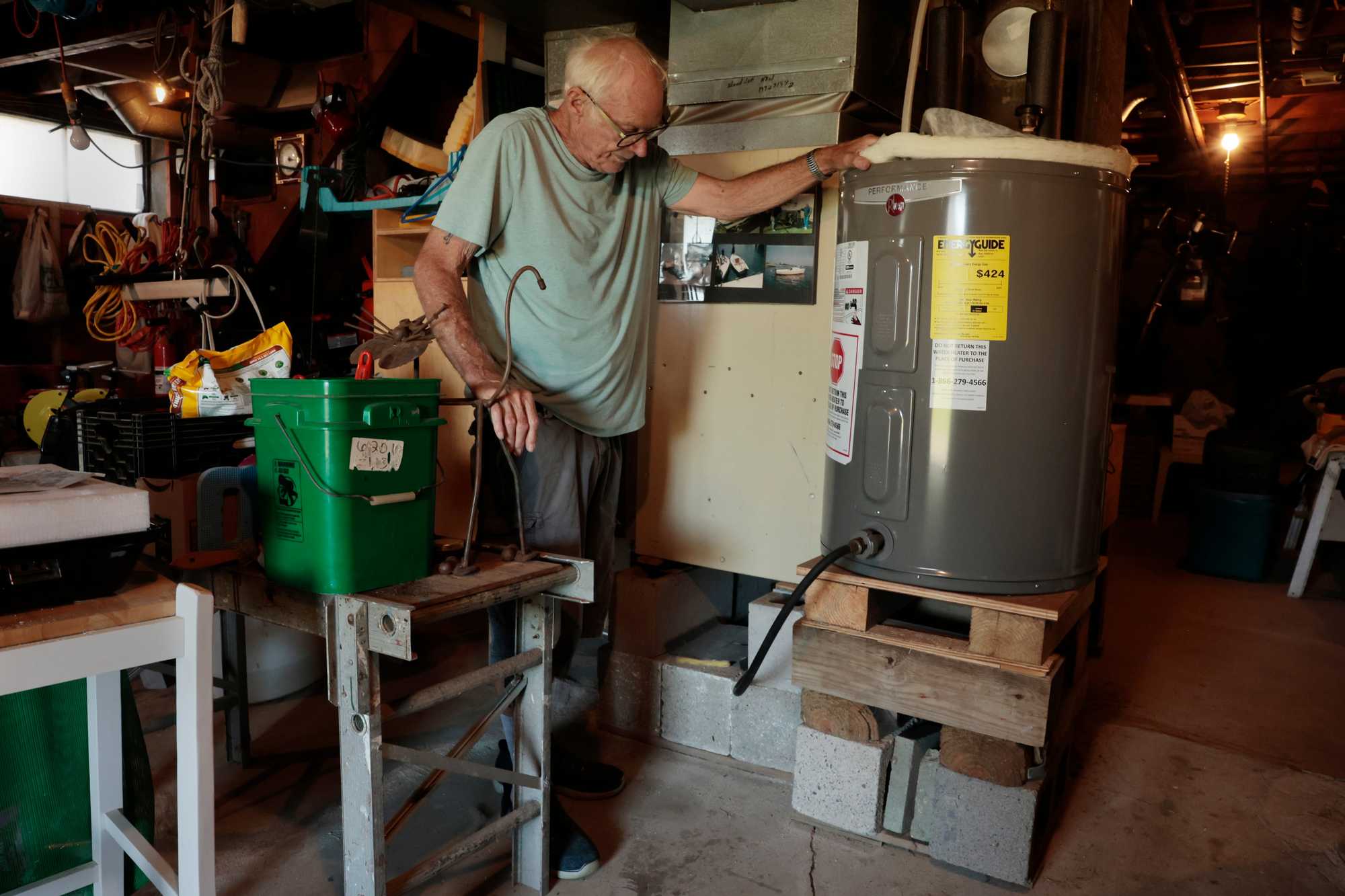
In the basement of his home on Pearl Avenue in Revere, Joe LaVigueur has raised the furnace and water heater on cinder blocks to protect them from increasingly frequent flood waters. (Craig F. Walker/Globe Staff)
He does this despite knowing it could all be under water someday soon. LaVigueur, 77, lives on Pearl Avenue in Revere — a street that regularly floods now and could be inaccessible during daily high tides in just 25 years.
By the end of this decade, average high tides will be as much as 1.3 feet higher than they were in 2008. By midcentury, they’ll be as much as 2.5 feet higher, according to a report by the city, state, local task forces, and the Woods Hole Group, an organization focused on environmental engineering.
“I got a million dollar view and a $10 house,” he said.
There’s no easy solution for keeping the water at bay.
LaVigueur’s home is among the most vulnerable in the city. When it rains hard and the tide is high, the water comes from all directions. The ocean charges past the nearby sea wall, storm water blasts downhill, and overflow from neighboring Belle Isle Marsh swallows the yard in several inches of salt water.
Cars flood and water pours into basements. Some homes have seen their foundations erode.
It’s a high-risk place to live, but high reward — the ocean air, 270 species of birds at the nearby marsh. And it’s home.
Revere already has a sea wall. It helps, but locals say an effort to update and raise its height didn’t extend far enough, and the older section is now crumbling. A new sea wall “would present significant regulatory challenges, disrupt natural coastal processes, and could lead to unintended consequences such as increased erosion on adjacent properties,” according to the report.
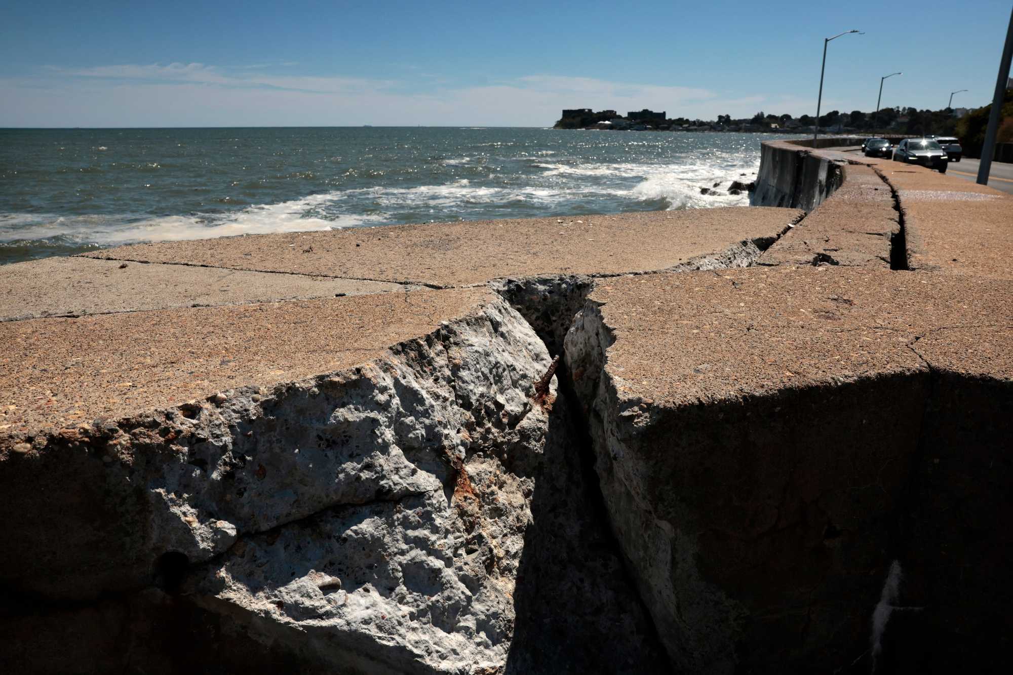
Storm damage on the sea wall along Winthrop Parkway. (Craig F. Walker/Globe Staff)
An earthen berm that would cut through the residents’ backyards could help — a barrier to break up wave energy and protect what’s behind it. But a complex storm water system would be required, too. All told, the price tag could hit $4.7 million (not including engineering and design, permitting, and maintenance) — a prohibitively high cost for a project that would likely require private funding since the berm would primarily benefit private properties.
What’s left for now is a series of smaller measures — flood proof basements or elevate homes — to weather the storms, but not to erase the risk.
By midcentury, the best option is a voluntary buyout of homeowners, according to the report. In other words: cash from the government to move someplace else. Where the money for that comes from is anybody’s guess.
Having lived here all his life, even helping to build his home as a teenager, LaVigueur knows the risk well.
“We’ve learned to deal with it,” he said of the flooding, standing near the furnace in his basement, which, like everything else here, is on risers. “But it is getting worse.”
Advertisement
In Squantum, hoping not to get sealed off by rising seas
QUINCY — Nasser Brahim remembers when flood waters swelled around the Christmas tree in the Squantum section of Quincy in early 2024, blocking the only road in and out for the 3,000 people who live on the peninsula off Quincy Shore Drive. He recalled the nor’easters of 2018, which also blocked the road, and other floods in 2022.
There’s a reason Brahim lives on a hill, but even that doesn’t help if he can’t get home.

Squantum resident Nasser Brahim near the intersection of East Squantum and Huckins avenues, a pocket of the Quincy neighborhood that floods from overflowing storm drains and a low-lying marsh area. (Barry Chin/Globe Staff)
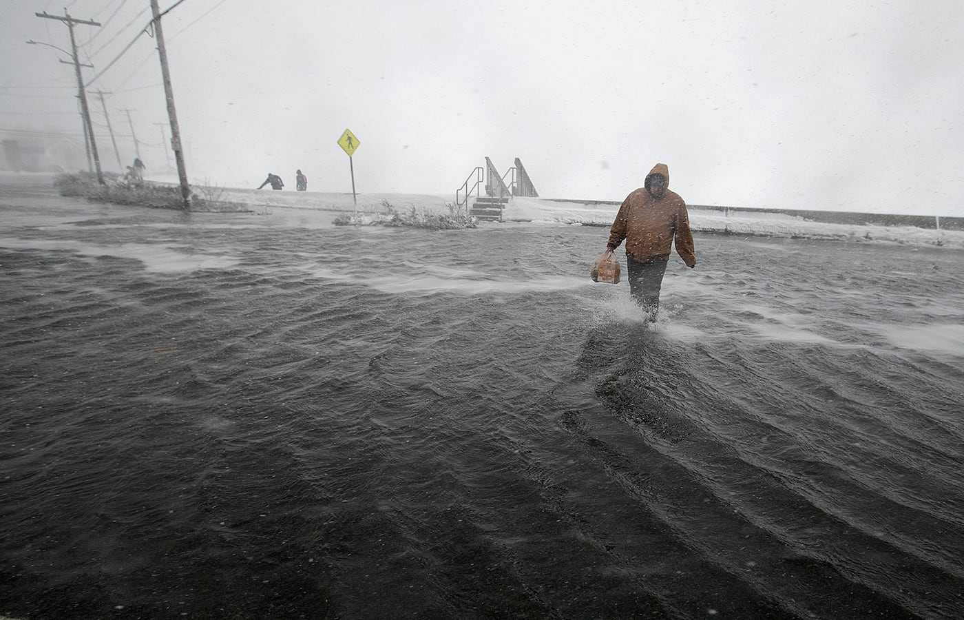
A man walked across flooded East Squantum Street in the Squantum section of Quincy, during a storm that cut off the peninsula in 2018. (Stan Grossfeld/ Globe Staff)
Surrounded by ocean and marshland, Squantum is a unique place, with sweeping views of downtown Boston. But East Squantum Street, the road connecting it to the mainland, has flooded repeatedly in recent years. It’s often not with water splashing over a sea wall, but rather storm water bubbling up from sewer drains. Brahim can recall four times in the past seven years that the road has been impassable.
“It’s not just, ‘Could it happen here,’” he said, looking out over the Squantum Channel. “It’s what is happening.”
Quincy has 27 miles of coastline, from sandy beaches to marshy inlets to the industrial banks of the Fore River. As the city confronts rising seas, a central challenge is the sheer number of vulnerable locations. Until now, said city engineer Paul Costello, the focus has been on limiting property damage and not “roadway inconveniences.”
But when that roadway is crucial to people’s ability to get home — not to mention emergency vehicles and public transportation — it rises on the list.
The city already raised some of the causeway in the ‘90s, and added a berm system along the marshland, said Al Grazioso, the city’s commissioner of public works. Now Quincy is studying another expanded sea wall around the central Squantum intersection, and this fall the City Council approved a $1.2 million flood-protection plan that will include the Squantum peninsula.
City Councilor William P. Harris, who represents the area, touted that money in a recent letter to residents. Flooding, he wrote, has become “a critical issue.”
“While property damage has been limited during these events, the flooding essentially serves to cut off the neighborhood for hours at a time,” Harris wrote. “That is a public safety issue.”
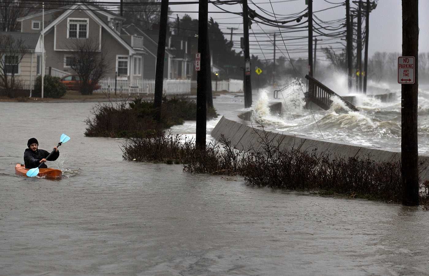
Daniel Cunningham of Squantum dodged waves in his kayak during a storm in 2018. (Stan Grossfeld/ Globe Staff)
Years ago, Mayor Thomas Koch’s administration tapped engineering firm Tighe & Bond to assess Quincy’s sea walls. The highest priorities were Edgewater Drive on Hough’s Neck and Merrymount Beach.
But municipal funding can only go so far.
“The reality is that some of these challenges are too big for individual municipalities to handle on their own,” said Ian Cooke, executive director of the Neponset River Watershed Association, a nonprofit that advocates for climate resiliency for the Neponset watershed stretching from Dorchester to Foxborough. “There really needs to be some more robust planning and funding mechanisms to deal with these things in the Greater Boston area.”
Advertisement
Sea level rise threatens inland cities too
TAUNTON — A glance over her shoulder lets Cheryl Latour know it’s low tide.
Just past the deck of her Riverhouse restaurant, the Taunton River flows steadily south toward the ocean. In a few hours, it will reverse course.
On a calm day, the river’s presence adds to the appeal of this dining oasis. Some day, it could be its undoing.
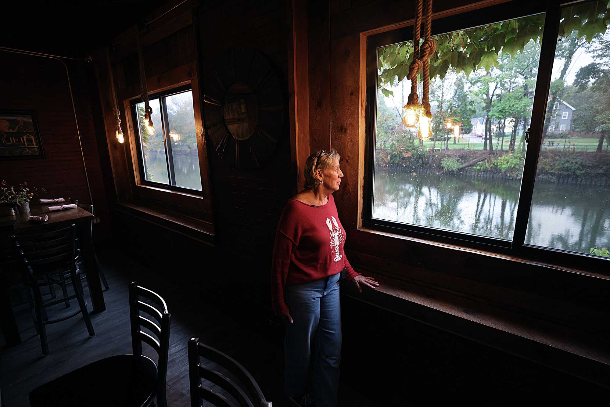
Cheryl Latour, owner of the Riverhouse restaurant in Taunton, looked out onto the Taunton River. (Suzanne Kreiter/Globe Staff)
Roughly 15 miles from where the river meets the sea, the city of Taunton is among what state officials refer to as “future coastal communities” — places that could someday feel the effects of sea level rise, if it’s not already a problem.
Other inland cities, including Haverhill, Malden, Cambridge, and Newton, will also likely face the risks, according to a state report.
The trouble in Taunton is that its namesake river is tidal and has a minimal change in elevation, so tides carry water farther inland than other rivers might.
By 2030, the area surrounding Latour’s restaurant — the Weir neighborhood — can expect to be underwater during heavy storms as sea level rise sends even more water up river, according to state projections.
Already, local sea levels have risen more than 9 inches since 1930 as glaciers and ice sheets melt, and water warms and expands, according to measurements from a tide gauge in nearby Newport, R.I.
And the rate of rise is accelerating. By the middle of this century, the region could see nearly 2 feet of sea level rise compared with pre-industrial times.
In Taunton, there is some awareness of the risks. A Hazard Mitigation Plan filed by city officials a few years ago indicates their city is at “medium risk” for impacts of sea level rise — with more than $300 million worth of property in jeopardy.
But the city administrators charged with spurring the city’s economic development — including revitalizing the Weir neighborhood — haven’t given that future problem of flooding much thought.
Latour, 67, is not naive. She has seen firsthand the way flood waters are rising more than ever in Berkley, the nearby coastal town where she lives.
But that’s the coast.
Sea level rise here in Taunton? “I guess I should start thinking about it a little more,” said Latour. Still, it’s hard to imagine going somewhere else.
“I have to be near water,” she said. “I raised my kids on the water, on this river.”
Advertisement
A centuries-old seaside town is moving for higher ground
HULL — The number Bryan Fenelon worries about is 12.
Twelve feet with a little bit of storm surge means his cellar, backyard, and the front of his house are all underwater. When he sees 11.7 or 11.9 feet on the tidal chart, it’s time to fill sandbags.
Fenelon, 62, has lived his entire life in Hampton’s Circle, a quiet seaside neighborhood on the mainland-facing side of Hull. In this more than 300-year-old town built on a barrier peninsula, there’s one way in and one way out. Hull already has among the highest number of repetitive loss insurance claims in the state.
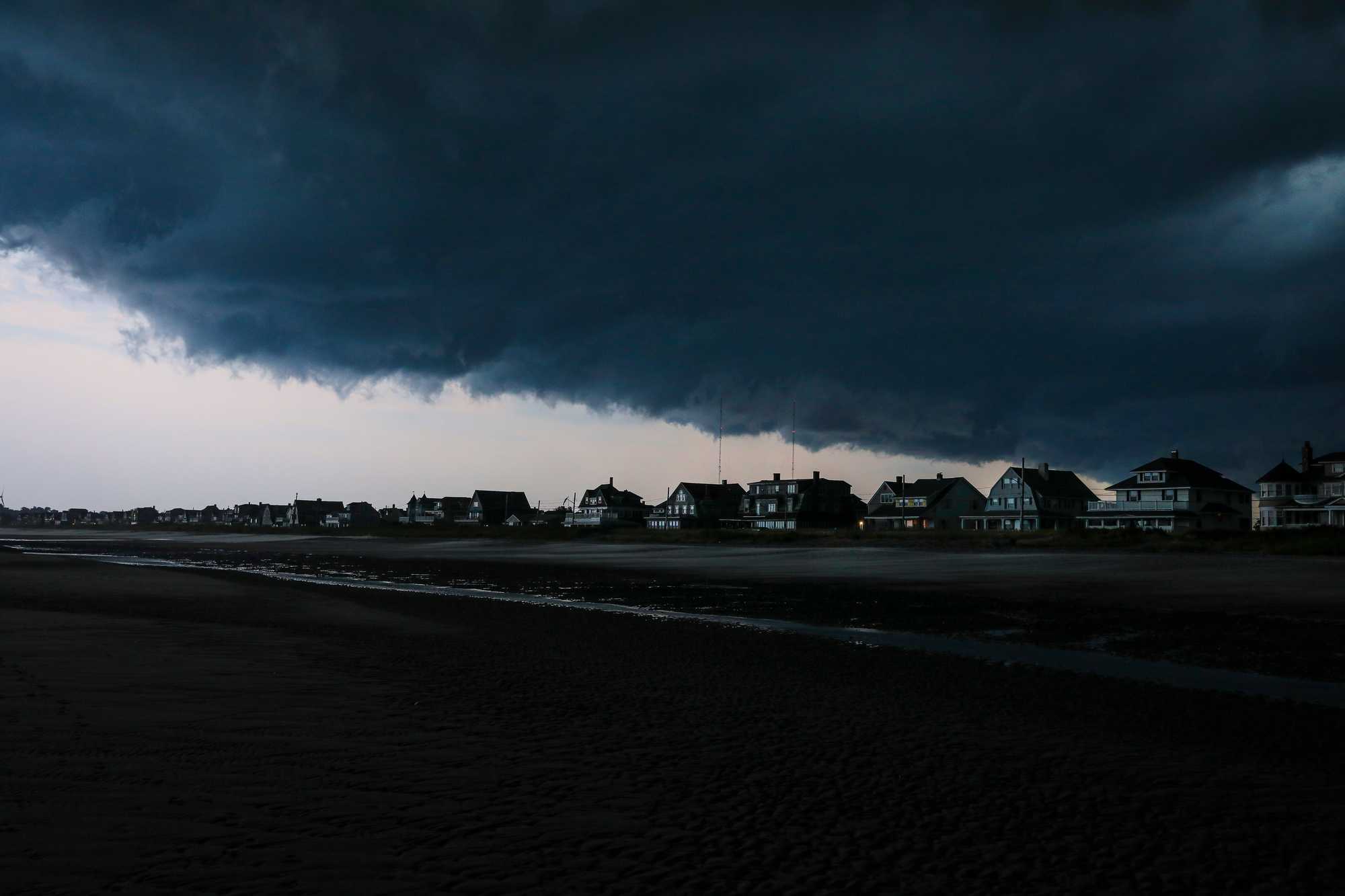
A storm blew in over Nantasket Beach in Hull in 2021. (Erin Clark/Globe Staff)
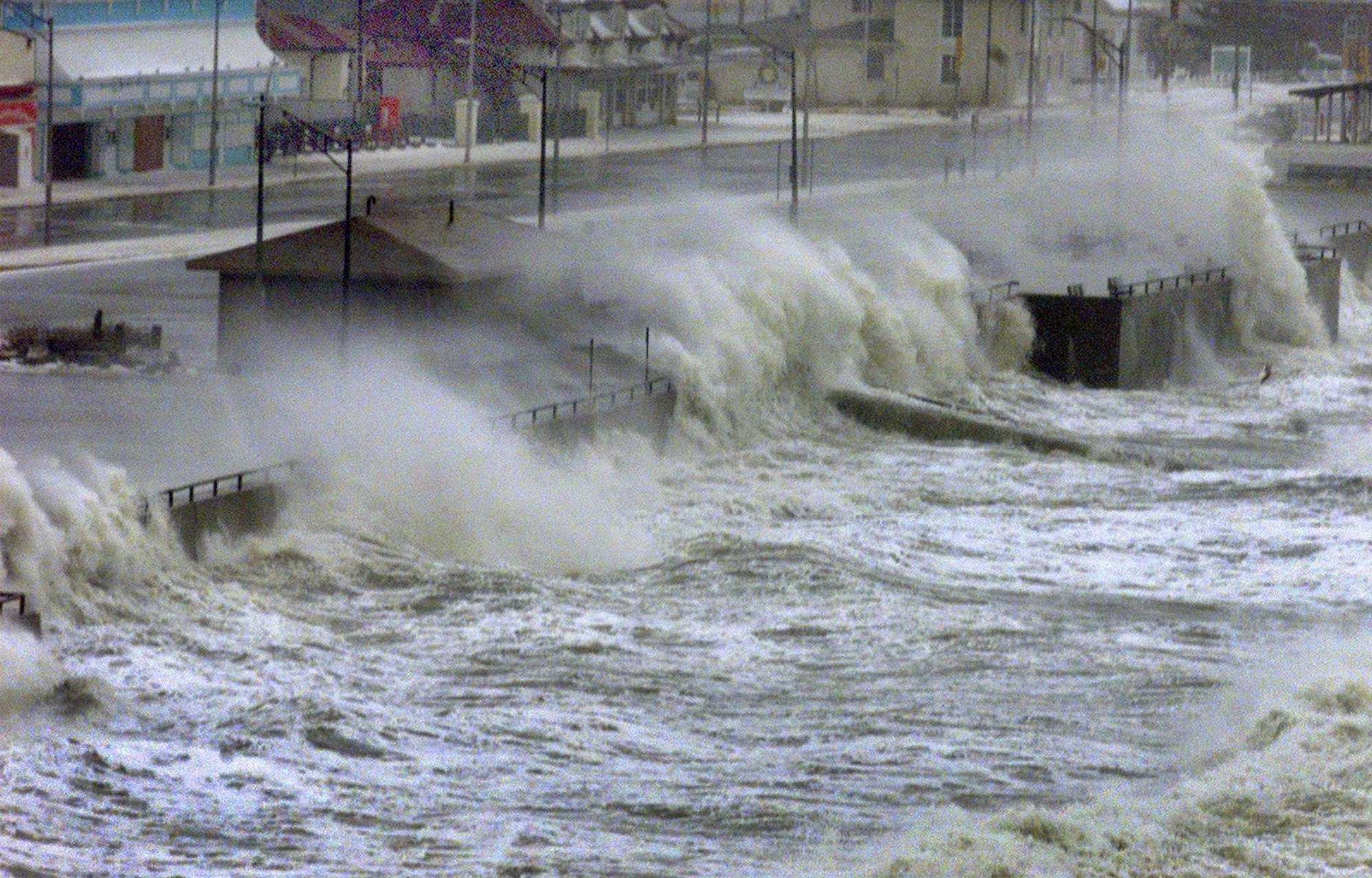
Waves crashed over the sea wall at Hull's Nantasket Beach. (Globe Staff/Tom Herde)
The flood maps for the future are dire: As soon as 2030, much of the Nantasket peninsula is vulnerable to flooding during severe storms, a climate model of Massachusetts flood risk shows. By 2050, swaths of the peninsula are expected to be inundated at least once per year.
Hull’s key climate change strategy is to move structures to higher ground piece by piece.
The strategy includes rebuilding a $15 million sea wall closer to land, transforming beach parking areas back into beach dunes for a natural defense system, and relocating a sewer pump away from coast.
Such projects cost hundreds of thousands of dollars, even millions. For small towns, action often requires cobbling together grants over many years. Hull has been aggressive in its applications thanks to a full-time climate director — a rarity in towns of similar size.
“Even though our size is small, our need is big,” said Chris Krahforst, the town’s director of climate adaptation and conservation. “Look where we’re at.”
While moving infrastructure is no easy task, it’s a cakewalk compared to moving people.
Already, flooding periodically cuts off Hampton’s Circle from the rest of the peninsula. Town officials have softly begun to engage residents there in tough conversations. Community meetings and strategic reports have laid out the options: elevate or leave.
“The town can’t be responsible for taking care of folks’ flooding problems [on private property],” Krahforst said.
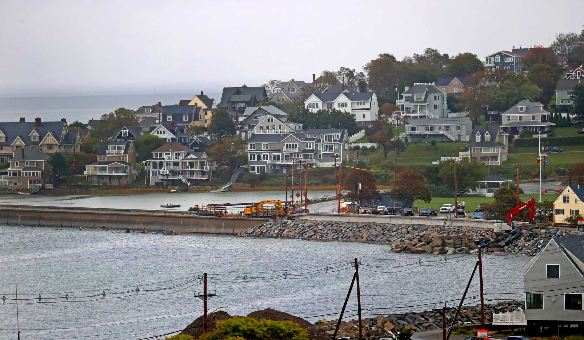
A sea wall under construction in Hull earlier this month. (David L Ryan/ Globe Staff)
Even longtime residents like Fenelon are thinking through the tradeoffs. A mechanic, he’s long taken a do-it-yourself attitude to protecting his home. He uses the National Weather Service’s website for coastal predictions.
When he sees the number approaching 12, he jumps into action: piling sandbags, monitoring three sump pumps he’s installed in the cellar, and checking his generator. Then he takes a walk around the neighborhood to check for any debris clogging the storm water drains.
Fenelon is not the type of person to retire in Florida, he said with a smile.
And yet, the idea of leaving to find a safer place to call home has started to cross his mind.
“I just don’t know where I would go,” he said.
Credits
- Reporters: Catherine Carlock, Erin Douglas, and Sabrina Shankman
- Editors: Jason Margolis, Tim Logan, Cristina Silva, and Francis Storrs
- Data editor: Yoohyun Jung
- Photographers: Craig F. Walker, Barry Chin, Suzanne Kreiter, and David L. Ryan
- Photo editor: Leanne Burden Seidel
- Design, development, and graphics: John Hancock
- Interactives editor: Christina Prignano
- Visuals editor: Tim Rasmussen
- Audience: Dana Gerber and Cecilia Mazanec
- Audience editor: Heather Ciras
- Copy editor: Mary Creane
- Quality assurance: Nalini Dokula
- SEO: Ronke Idowu Reeves
© 2025 Boston Globe Media Partners, LLC
